
Find the border you need.
Build the one you can’t.
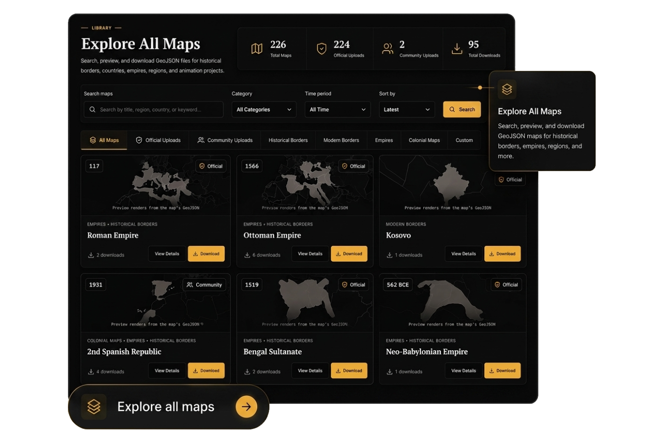
Explore and download historical and modern map data in professional GIS formats, compare countries, or create custom boundaries directly in your browser.
Select a country to browse its maps
Coming soonMore formats are coming
Shapefile
KML / KMZ
GeoPackage
Multi-format downloads
Histriphy Studio
Turn a roughidea into aclean map.
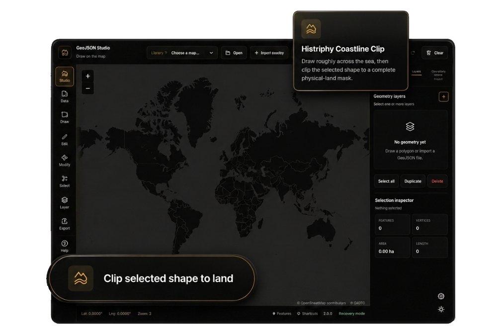
Draw a rough territory, clip it to real coastlines, repair the geometry, and export it to professional GIS formats directly in your browser.
Open Histriphy StudioExplore Histriphy’s key features.
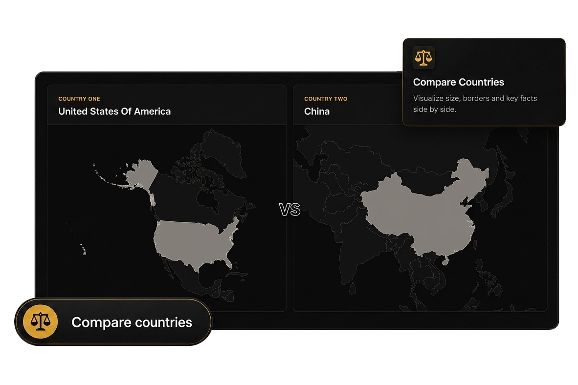
Find, compare, build, and see what’s next.
1 / 4
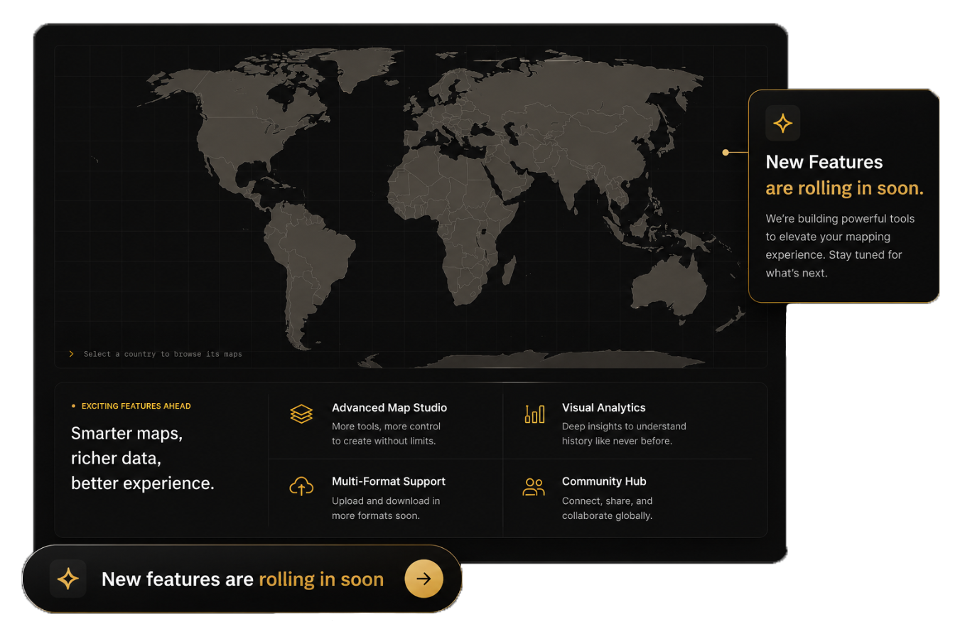
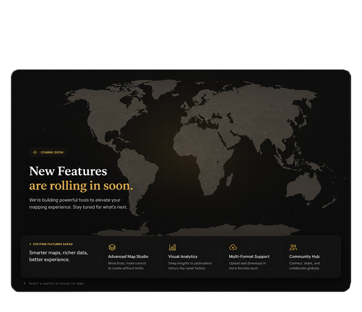
More is on the way.New mapping tools, richer data, and broader format support are coming next.
Have a useful map to share?
Submit your GeoJSON for review and help expand the Histriphy library.